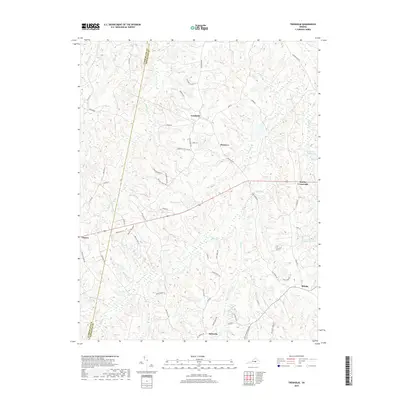
2019 Map of Trenholm
USGS Topo · Published 2019About this map
Trenholm and the surrounding rural crossroads of Powhatan and Cumberland counties maintain a landscape defined by an intricate network of creeks and small drainages. The area is characterized by scattered settlements such as Ballsville, Belona, and Hatchers, which are connected by a web of local roads including Trenholm Rd and Old Buckingham Rd. The terrain is deeply carved by waterways like Deep Cr, Muddy Cr, and Maple Swamp Cr, while human-made landmarks like Bevins Pond and the Powhatan Lakes offer evidence of managed water resources. Historically significant naming conventions are preserved in features such as Maxey Mill Cr, hinting at former local industries. This modern survey reflects the persistent rural character of the Virginia Piedmont, where contemporary residential developments like those near Blenheim Rd exist alongside the traditional agricultural and timber patterns of the region.
Find a feature on this map
61 named features on this map. Tap any name to fly to it.
Don’t see what you’re looking for? This feature index may not catch every label — zoom into the map to look around manually.
Map Details
Editions of this 2019 Trenholm Map
This is the sole edition of this map. No revisions or reprints were ever made.
Other maps of this area

1890 · Goochland
USGS Topo · 1:125,000

1891 · Palmyra
USGS Topo · 1:125,000

1891 · Farmville
USGS Topo · 1:125,000

1892 · Goochland
USGS Topo · 1:125,000

1893 · Farmville
USGS Topo · 1:125,000

1895 · Palmyra
USGS Topo · 1:125,000

1897 · Amelia
USGS Topo · 1:125,000

1897 · Palmyra
USGS Topo · 1:125,000

1943 · Goochland
USGS Topo · 1:31,680

1943 · Powhatan
USGS Topo · 1:31,680