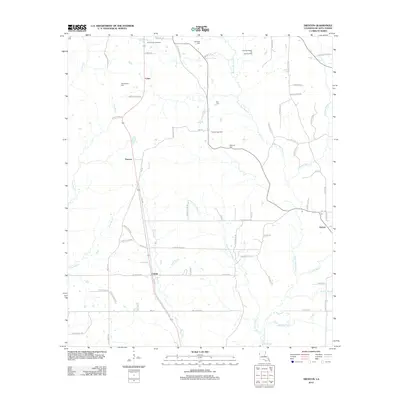
2012 Map of Trenton
USGS Topo · Published 2012About this map
The small settlements of Trenton and Catuna anchor this portion of DeSoto Parish, illustrating a landscape defined by traditional rural life and modern energy extraction. The region is heavily marked by industrial infrastructure, including the Trenton Gas Field, the East Spider Gas Field, and the Chatman Bayou Oil and Gas Field, which operate alongside family-named landmarks and historical burial sites. Local genealogy is rooted in sites such as Flanagan Cem, Stephenson Cem, and Guy Cem, which are scattered among the drainages of Green Cane Bayou and Bayou San Patricio. The presence of the Oxford post office and various parish roads, such as Hudson Darby Rd, indicates a network of small-scale hubs that have historically connected these timber and oil-rich communities in northwestern Louisiana.
Find a feature on this map
70 named features on this map. Tap any name to fly to it.
Don’t see what you’re looking for? This feature index may not catch every label — zoom into the map to look around manually.
Map Details
Editions of this 2012 Trenton Map
This is the sole edition of this map. No revisions or reprints were ever made.
Other maps of this area

1941 · Pelican
USGS Topo · 1:62,500

1943 · Pleasant Hill
USGS Topo · 1:62,500

1944 · Logansport
USGS Topo · 1:62,500

1944 · Pleasant Hill
USGS Topo · 1:62,500

1945 · Grand Cane
USGS Topo · 1:62,500

1945 · Mansfield
USGS Topo · 1:62,500

1947 · Mansfield
USGS Topo · 1:62,500

1953 · Alexandria
USGS Topo · 1:250,000

1955 · Shreveport
USGS Topo · 1:250,000

1955 · Alexandria
USGS Topo · 1:250,000