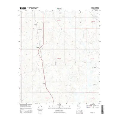
2015 Map of Trenton
USGS Topo · Published 2015About this map
Trenton and Catuna anchor this rural portion of DeSoto Parish, where the modern transportation network overlays older historical corridors like the Old Hwy. The landscape is defined by its scattered small settlements and agricultural heritage, with Oxford and Coker serving as quiet hubs connected by a web of parish roads. Local history and genealogy are preserved through several family-named landmarks, including the Stephenson Cem and Flanagan Cem. The arrangement of these cemeteries and the winding nature of routes like Trenton Rd and Catuna Rd suggest long-established land divisions across the township lines. This survey provides a clear view of the rural residential patterns and infrastructure that define this part of northern Louisiana in the early twenty-first century.
Find a feature on this map
32 named features on this map. Tap any name to fly to it.
Don’t see what you’re looking for? This feature index may not catch every label — zoom into the map to look around manually.
Map Details
Editions of this 2015 Trenton Map
This is the sole edition of this map. No revisions or reprints were ever made.
Other maps of this area

1941 · Pelican
USGS Topo · 1:62,500

1943 · Pleasant Hill
USGS Topo · 1:62,500

1944 · Logansport
USGS Topo · 1:62,500

1944 · Pleasant Hill
USGS Topo · 1:62,500

1945 · Grand Cane
USGS Topo · 1:62,500

1945 · Mansfield
USGS Topo · 1:62,500

1947 · Mansfield
USGS Topo · 1:62,500

1953 · Alexandria
USGS Topo · 1:250,000

1955 · Shreveport
USGS Topo · 1:250,000

1955 · Alexandria
USGS Topo · 1:250,000