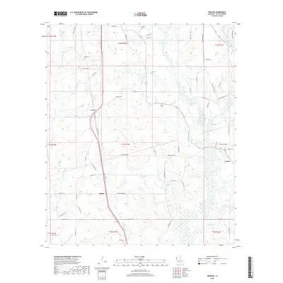
2018 Map of Trenton
USGS Topo · Published 2018About this map
Trenton and Catuna serve as the primary nodes of settlement in this portion of DeSoto Parish, where the landscape is defined by a complex network of waterways and rural parish roads. The drainage pattern is particularly striking, with Bayou San Patricio and Green Cane Bayou carving through the terrain alongside smaller tributaries like Bear Cr and the colorfully named Stinkfinger Cr. For those researching local history or genealogy, several family-named burial sites are preserved here, including Stephenson Cem near Trenton and Flanagan Cem to the north. The area's transit is dominated by local connections such as Catuna Oxford Rd and Hudson Darby Rd, which link these small communities across the bayous. The eastern edge of the map transitions toward Oxford, marking a quiet rural corner of Louisiana where early land divisions and family cemeteries remain central landmarks.
Find a feature on this map
66 named features on this map. Tap any name to fly to it.
Don’t see what you’re looking for? This feature index may not catch every label — zoom into the map to look around manually.
Map Details
Editions of this 2018 Trenton Map
This is the sole edition of this map. No revisions or reprints were ever made.
Other maps of this area

1941 · Pelican
USGS Topo · 1:62,500

1943 · Pleasant Hill
USGS Topo · 1:62,500

1944 · Logansport
USGS Topo · 1:62,500

1944 · Pleasant Hill
USGS Topo · 1:62,500

1945 · Grand Cane
USGS Topo · 1:62,500

1945 · Mansfield
USGS Topo · 1:62,500

1947 · Mansfield
USGS Topo · 1:62,500

1953 · Alexandria
USGS Topo · 1:250,000

1955 · Shreveport
USGS Topo · 1:250,000

1955 · Alexandria
USGS Topo · 1:250,000