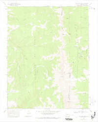
1967 Map of Trinchera Peak
USGS Topo · Published 1978About this map
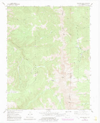
Trinchera Peak anchors this high-elevation survey at the tri-county junction of Costilla, Huerfano, and Las Animas. The landscape is defined by the massive Sangre de Cristo range, where narrow drainages like Apache Canyon and Banana Canyon feed into Trinchera Creek. To the east, the San Isabel National Forest provides a different character of terrain, featuring recreational sites such as Bear Lake Campground and Blue Lakes Campground near the headwaters of the North Fork Purgatoire River. The map illustrates a transitional wilderness economy, where traditional resource extraction is represented by a mine and prospects near Hells Canyon, while established routes like the Indian Creek Trail (Pack) suggest the historical movement of livestock and travelers through these steep mountain passes.
Find a feature on this map
43 named features on this map. Tap any name to fly to it.
Don’t see what you’re looking for? This feature index may not catch every label — zoom into the map to look around manually.
Map Details
Editions of this 1967 Trinchera Peak Map
5 editions found
Other maps of this area

1954 · Trinidad
USGS Topo · 1:250,000

1955 · Trinidad
USGS Topo · 1:250,000

1958 · Trinidad
USGS Topo · 1:250,000

1959 · Trinidad
USGS Topo · 1:250,000

1963 · Mc Carty Park
USGS Topo · 1:24,000
1963 · Cuchara
USGS Topo · 1:24,000

1967 · Ojito Peak
USGS Topo · 1:24,000
1967 · Cucharas Pass
USGS Topo · 1:24,000
1967 · Trinchera Ranch
USGS Topo · 1:24,000

1967 · Taylor Ranch
USGS Topo · 1:24,000