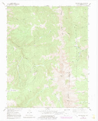
1967 Map of Trinchera Peak
USGS Topo · Published 1991About this map
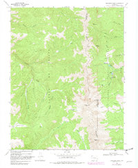
Sangre De Cristo mountains dominate this high-altitude survey, where the boundaries of Costilla, Huerfano, and Las Animas counties converge. The drainage patterns on this 1967 edition reveal the headwaters of several significant systems, including the North Fork Purgatorie River and Trinchera Creek. In the eastern portion, the San Isabel National Forest hosts seasonal recreation at sites like the Bear Lake Campground and Blue Lakes Campground, connected by the Indian Creek Trail (Pack).
Find a feature on this map
41 named features on this map. Tap any name to fly to it.
Don’t see what you’re looking for? This feature index may not catch every label — zoom into the map to look around manually.
Map Details
Editions of this 1967 Trinchera Peak Map
5 editions found
Other maps of this area

1954 · Trinidad
USGS Topo · 1:250,000

1955 · Trinidad
USGS Topo · 1:250,000

1958 · Trinidad
USGS Topo · 1:250,000

1959 · Trinidad
USGS Topo · 1:250,000

1963 · Mc Carty Park
USGS Topo · 1:24,000
1963 · Cuchara
USGS Topo · 1:24,000

1967 · Ojito Peak
USGS Topo · 1:24,000
1967 · Cucharas Pass
USGS Topo · 1:24,000
1967 · Trinchera Ranch
USGS Topo · 1:24,000

1967 · Taylor Ranch
USGS Topo · 1:24,000