
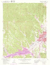
1951 Map of Trinidad
USGS Topo · Published 1953About this map
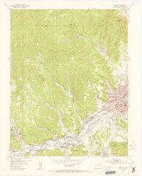
The Purgatoire River—also labeled here as the Picketwire River—cuts a significant valley through this portion of Las Animas County, serving as the primary corridor for both industry and settlement. In the early 1950s, Trinidad stands as the regional hub, where the Atchison Topeka and Santa Fe and the Colorado and Southern railroads converge near Simpsons Rest. The landscape is deeply marked by the coal industry, with numerous workings such as the Baldy Coal Mine and Starkville No 1 Coal Mine (Inactive) dotting the surrounding canyons. Smaller company towns and residential clusters like Sopris, Starkville, and Cokedale are situated along the valley floor, supported by local institutions including the St Josephs Church and the Trinidad State Jr College. This era shows the area's transition, balancing established mining operations with the development of the Trinidad Reservoir and the expansion of the City Limits.
Find a feature on this map
66 named features on this map. Tap any name to fly to it.
Don’t see what you’re looking for? This feature index may not catch every label — zoom into the map to look around manually.
Map Details
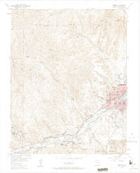
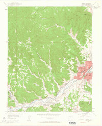
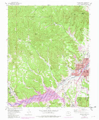
Editions of this 1951 Trinidad Map
6 editions found
Other maps of this area

1891 · Spanish Peaks
USGS Topo · 1:125,000

1892 · Elmoro
USGS Topo · 1:125,000

1893 · Spanish Peaks
USGS Topo · 1:125,000

1893 · Elmoro
USGS Topo · 1:125,000

1895 · Spanish Peaks
USGS Topo · 1:125,000

1897 · Elmoro
USGS Topo · 1:125,000

1897 · Spanish Peaks
USGS Topo · 1:125,000

1900 · Spanish Peaks
USGS Topo · 1:125,000

1951 · Valdez
USGS Topo · 1:24,000

1951 · Madrid
USGS Topo · 1:24,000