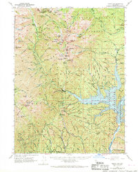
1950 Map of Trinity Dam
USGS Topo · Published 1968About this map
Trinity Dam and the resulting reservoir of the Whiskeytown-Shasta-Trinity National Recreation Area dominate this mid-century landscape. The map captures a moment of transition where industrial water management meets the wilderness of the Trinity National Forest and Shasta National Forest. This survey is particularly valuable for documenting the Ridgeville settlement and the nearby Ridgeville Cemetery located near the reservoir's edge, as well as the commercial center at Covington Mill.
Find a feature on this map
142 named features on this map. Tap any name to fly to it.
Don’t see what you’re looking for? This feature index may not catch every label — zoom into the map to look around manually.
Map Details
Editions of this 1950 Trinity Dam Map
4 editions found

Other maps of this area

1886 · Shasta
USGS Topo · 1:250,000

1890 · Red Bluff
USGS Topo · 1:250,000

1894 · Red Bluff
USGS Topo · 1:250,000

1894 · Shasta
USGS Topo · 1:250,000

1909 · Big Bar
USGS Topo · 1:96,000

1913 · Weaverville
USGS Topo · 1:125,000

1915 · Big Bar and Vicinity
USGS Topo · 1:250,000

1923 · Sawyers Bar
USGS Topo · 1:125,000

1931 · Etna
USGS Topo · 1:96,000

1934 · Etna
USGS Topo · 1:125,000