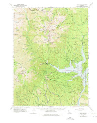
1950 Map of Trinity Dam
USGS Topo · Published 1975About this map
The Trinity Dam and its massive reservoir, Clair Engle Lake, dominate the southeastern portion of this map, representing a significant era of water management and infrastructure in northern California. Before the water rose, the area supported various extractive and pioneer industries, evidenced by the Ridgeville (Site) and its associated Ridgeville Cemetery. Early logging and processing operations like Covington Mill were essential to the local economy, while mining activity was scattered across the terrain at the Globe Mine, Little Anna Mine, and Woodrat Mine.
Find a feature on this map
152 named features on this map. Tap any name to fly to it.
Don’t see what you’re looking for? This feature index may not catch every label — zoom into the map to look around manually.
Map Details
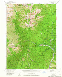
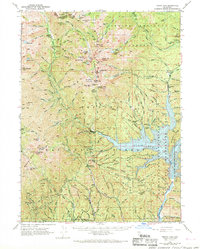
Editions of this 1950 Trinity Dam Map
4 editions found

Other maps of this area

1886 · Shasta
USGS Topo · 1:250,000

1890 · Red Bluff
USGS Topo · 1:250,000

1894 · Red Bluff
USGS Topo · 1:250,000

1894 · Shasta
USGS Topo · 1:250,000

1909 · Big Bar
USGS Topo · 1:96,000

1913 · Weaverville
USGS Topo · 1:125,000

1915 · Big Bar and Vicinity
USGS Topo · 1:250,000

1923 · Sawyers Bar
USGS Topo · 1:125,000

1931 · Etna
USGS Topo · 1:96,000

1934 · Etna
USGS Topo · 1:125,000