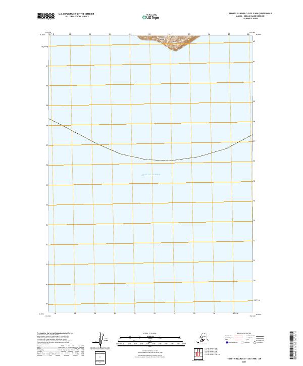
2021 Map of Trinity Islands C-1 OE S NW
USGS Topo · Published 2021About this map
Sitkinak Island, part of the larger Trinity Islands group, edges the northern boundary of this maritime survey in the Gulf of Alaska. The map primarily documents the open waters and coastal shelf south of the Kodiak archipelago, capturing the precise shoreline contours of the island's southern reaches. This modern cartographic record utilizes data from the National Hydrography Dataset and the National Elevation Dataset to delineate the transition from the landmass to the sea, providing a clear view of the remote coastal geography of the Kodiak Island Borough.
Find a feature on this map
5 named features on this map. Tap any name to fly to it.
Don’t see what you’re looking for? This feature index may not catch every label — zoom into the map to look around manually.
Map Details
Editions of this 2021 Trinity Islands C-1 OE S NW Map
This is the sole edition of this map. No revisions or reprints were ever made.
Other maps of this area

1951 · Trinity Islands
USGS Topo · 1:250,000

1952 · Trinity Islands C-1
USGS Topo · 1:63,360
1952 · Trinity Islands B-2 and C-2
USGS Topo · 1:63,360

1954 · Trinity Islands C-1
USGS Topo · 1:63,360
1954 · Trinity Islands B-2 and C-2
USGS Topo · 1:63,360

1954 · Trinity Islands
USGS Topo · 1:250,000
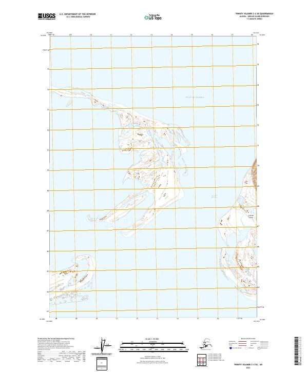
2021 · Trinity Islands C-2 SE
USGS Topo · 1:25,000
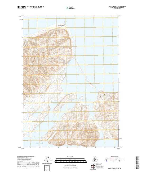
2021 · Trinity Islands C-1 SE
USGS Topo · 1:25,000
2021 · Trinity Islands B-2 NE
USGS Topo · 1:25,000
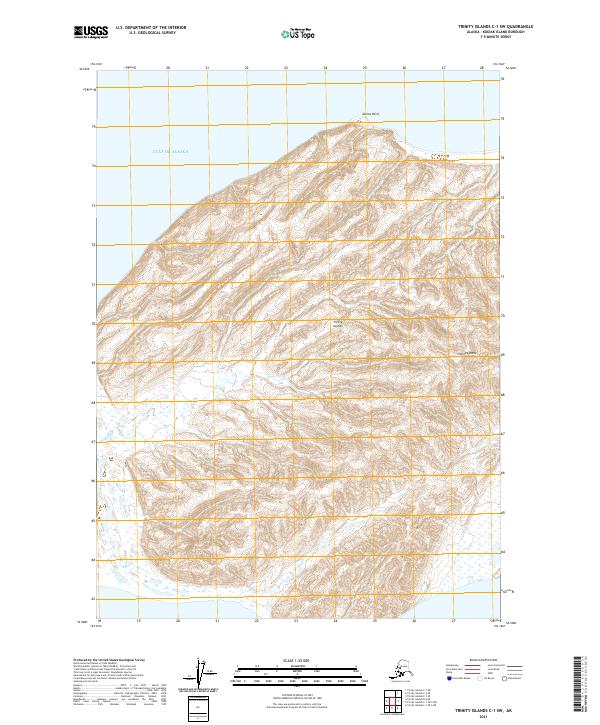
2021 · Trinity Islands C-1 SW
USGS Topo · 1:25,000