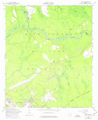
1958 Map of Trinity
USGS Topo · Published 1976About this map
The Fort Stewart Military Reservation dominates this landscape, showing the integration of military infrastructure into the coastal Georgia lowlands. Located along the boundary of Bryan Co and Liberty Co, the area is defined by the winding course of the Canoochee River and extensive wetlands including Goshen Swamp and Big Swamp. The presence of Trinity (Site) and the Trinity Cem suggests a former community center displaced by the expansion of the base. To the south, residential development at Stewart Homes and aviation activity at Wright Field represent the mid-century buildup of military facilities. Numerous Artesian Wells are noted across the northern terrain, indicating the hydrological character of the region near Alligator Bay and Jones Bay. This survey reflects a period when private settlements were transitioning into a large-scale federal training installation.
Find a feature on this map
21 named features on this map. Tap any name to fly to it.
Don’t see what you’re looking for? This feature index may not catch every label — zoom into the map to look around manually.
Map Details
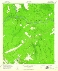
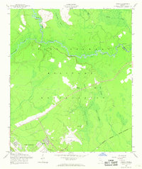
Editions of this 1958 Trinity Map
3 editions found
Other maps of this area

1918 · Hinesville
USGS Topo · 1:62,500

1920 · Pembroke
USGS Topo · 1:62,500

1920 · Meldrim
USGS Topo · 1:62,500

1920 · Limerick
USGS Topo · 1:62,500

1942 · Meldrim
USGS Topo · 1:62,500

1944 · Hinesville
USGS Topo · 1:62,500

1944 · Limerick
USGS Topo · 1:62,500

1946 · Brunswick
USGS Topo · 1:250,000

1947 · Savannah
USGS Topo · 1:250,000

1948 · Brunswick
USGS Topo · 1:250,000