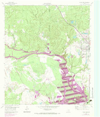
1960 Map of Trinity West
USGS Topo · Published 1974About this map
The Trinity River corridor dominates this landscape, showing the transition of the river valley near Trinity during a period of significant hydraulic change. Purple photorevisions from 1972 illustrate the expansion of Lake Livingston and identify areas subject to controlled inundation, a critical detail for researchers studying the local impact of reservoir development. The town of Trinity is a focal point of infrastructure, where the Missouri Pacific and the Waco Beaumont Trinity and Sabine railroads converge.
Find a feature on this map
19 named features on this map. Tap any name to fly to it.
Don’t see what you’re looking for? This feature index may not catch every label — zoom into the map to look around manually.
Map Details
Editions of this 1960 Trinity West Map
3 editions found
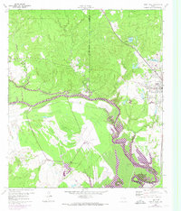
Other maps of this area

1953 · Palestine
USGS Topo · 1:250,000

1954 · Beaumont
USGS Topo · 1:250,000

1957 · Beaumont
USGS Topo · 1:250,000

1957 · Palestine
USGS Topo · 1:250,000

1960 · Trinity West
USGS Topo · 1:24,000

1960 · Trinity East
USGS Topo · 1:24,000

1961 · Staley
USGS Topo · 1:24,000

1961 · Riverside
USGS Topo · 1:24,000

1962 · Pine Prairie
USGS Topo · 1:24,000

1962 · Lovelady South
USGS Topo · 1:24,000