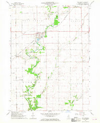
1966 Map of Troy Grove
USGS Topo · Published 1968About this map
The Little Vermilion River carves a winding path through this central Illinois landscape, serving as a focal point for local industry and settlement in the mid-1960s. The village of Troy Grove sits at the intersection of the Chicago and North Western railroad and the river, where numerous Sandpits and gravel operations highlight the area's geological utility. This survey captures a moment when the rural agricultural economy was supported by a network of small communities and specialized infrastructure, from the small Vogel Airport near the western edge to the Dimmick Sch serving local families.
Find a feature on this map
23 named features on this map. Tap any name to fly to it.
Don’t see what you’re looking for? This feature index may not catch every label — zoom into the map to look around manually.
Map Details
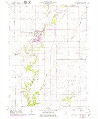
Editions of this 1966 Troy Grove Map
2 editions found
Other maps of this area

1892 · Ottawa
USGS Topo · 1:62,500

1893 · Lasalle
USGS Topo · 1:62,500

1911 · La Salle
USGS Topo · 1:62,500

1913 · La Salle
USGS Topo · 1:62,500

1915 · Ottawa
USGS Topo · 1:62,500

1946 · Ottawa
USGS Topo · 1:62,500

1947 · La Salle
USGS Topo · 1:62,500

1951 · Earlville
USGS Topo · 1:62,500

1952 · Mendota
USGS Topo · 1:62,500

1958 · Aurora
USGS Topo · 1:250,000