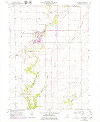
1966 Map of Troy Grove
USGS Topo · Published 1979About this map
The Little Vermilion River carves a winding path through this central Illinois landscape, serving as a focal point for local industry and transportation in the mid-1960s. The village of Troy Grove sits at the nexus of the Chicago and North Western railroad and several large-scale Sandpits, illustrating the area's historical reliance on mineral extraction and rail transport. To the east and south, the terrain levels out into the townships of Ophir and Waltham, where small settlements like Triumph and Waltham are situated.
Find a feature on this map
17 named features on this map. Tap any name to fly to it.
Don’t see what you’re looking for? This feature index may not catch every label — zoom into the map to look around manually.
Map Details
Editions of this 1966 Troy Grove Map
2 editions found
Other maps of this area

1892 · Ottawa
USGS Topo · 1:62,500

1893 · Lasalle
USGS Topo · 1:62,500

1911 · La Salle
USGS Topo · 1:62,500

1913 · La Salle
USGS Topo · 1:62,500

1915 · Ottawa
USGS Topo · 1:62,500

1946 · Ottawa
USGS Topo · 1:62,500

1947 · La Salle
USGS Topo · 1:62,500

1951 · Earlville
USGS Topo · 1:62,500

1952 · Mendota
USGS Topo · 1:62,500

1958 · Aurora
USGS Topo · 1:250,000