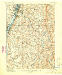
1898 Map of Troy
USGS Topo · Published 1904About this map
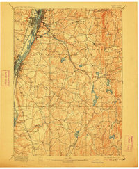
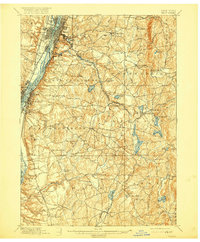
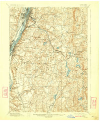
The Hudson River corridor near Troy serves as the industrial and transportation anchor for this late nineteenth-century survey. While the western edge is defined by the heavy infrastructure of the Erie Canal and the Delaware and Hudson Railroad, the interior transitions into a landscape of small mill villages and glacial lakes. The presence of the Troy and New England Electric Railway cutting through North Greenbush toward Averill Park illustrates the era's expanding suburban connectivity and the rise of the region's resort culture at Sand Lake and Glass Lake.
Find a feature on this map
89 named features on this map. Tap any name to fly to it.
Don’t see what you’re looking for? This feature index may not catch every label — zoom into the map to look around manually.
Map Details
Editions of this 1898 Troy Map
8 editions found

Other maps of this area

1888 · Berlin
USGS Topo · 1:62,500

1888 · Pittsfield
USGS Topo · 1:62,500

1890 · Pittsfield
USGS Topo · 1:62,500

1890 · Berlin
USGS Topo · 1:62,500

1893 · Cohoes
USGS Topo · 1:62,500

1893 · Troy
USGS Topo · 1:62,500

1893 · Schenectady
USGS Topo · 1:62,500

1893 · Coxsackie
USGS Topo · 1:62,500

1893 · Pittsfield
USGS Topo · 1:62,500

1893 · Albany
USGS Topo · 1:62,500