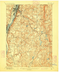
1898 Map of Troy
USGS Topo · Published 1909About this map
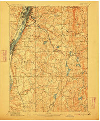
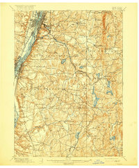
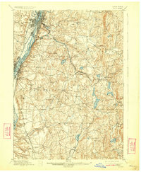
The Hudson River corridor serves as the industrial and transit spine of Rensselaer County in this late-19th-century survey. Urban density is concentrated at Troy and Watervliet, where several islands like Green Island and Cuyler Island divide the river's flow. Moving eastward, the landscape transitions from the riverfront rail hubs of the Boston and Albany Railroad and N. Y. C. & H. R. R. R. to a rural interior of rolling hills and scattered settlements.
Find a feature on this map
86 named features on this map. Tap any name to fly to it.
Don’t see what you’re looking for? This feature index may not catch every label — zoom into the map to look around manually.
Map Details
Editions of this 1898 Troy Map
8 editions found

Other maps of this area

1888 · Berlin
USGS Topo · 1:62,500

1888 · Pittsfield
USGS Topo · 1:62,500

1890 · Pittsfield
USGS Topo · 1:62,500

1890 · Berlin
USGS Topo · 1:62,500

1893 · Cohoes
USGS Topo · 1:62,500

1893 · Troy
USGS Topo · 1:62,500

1893 · Schenectady
USGS Topo · 1:62,500

1893 · Coxsackie
USGS Topo · 1:62,500

1893 · Pittsfield
USGS Topo · 1:62,500

1893 · Albany
USGS Topo · 1:62,500