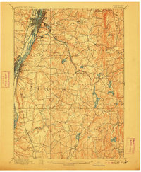
1898 Map of Troy
USGS Topo · Published 1912About this map
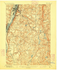
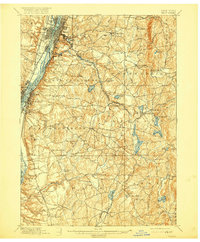
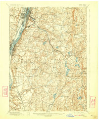
The Hudson River serves as the industrial and transportation backbone for this Rensselaer County landscape, where the bustling streets of Troy and Watervliet give way to a dense network of suburbanizing settlements and rural townships. Surveyed in 1891, the map documents a transition in transit technology, capturing both the legacy of the Erie Canal and the expanding footprint of multiple rail systems. While the Delaware and Hudson Railroad and New York Central and Hudson River Railroad hug the riverbanks, the Troy and New England Electric Railway strikes eastward toward West Sandlake, reflecting the late-century growth of commuter links.
Find a feature on this map
89 named features on this map. Tap any name to fly to it.
Don’t see what you’re looking for? This feature index may not catch every label — zoom into the map to look around manually.
Map Details
Editions of this 1898 Troy Map
8 editions found

Other maps of this area

1888 · Berlin
USGS Topo · 1:62,500

1888 · Pittsfield
USGS Topo · 1:62,500

1890 · Pittsfield
USGS Topo · 1:62,500

1890 · Berlin
USGS Topo · 1:62,500

1893 · Cohoes
USGS Topo · 1:62,500

1893 · Troy
USGS Topo · 1:62,500

1893 · Schenectady
USGS Topo · 1:62,500

1893 · Coxsackie
USGS Topo · 1:62,500

1893 · Pittsfield
USGS Topo · 1:62,500

1893 · Albany
USGS Topo · 1:62,500