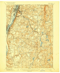
1898 Map of Troy
USGS Topo · Published 1916About this map
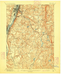
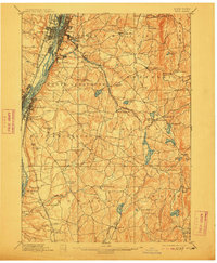
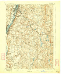
The Hudson River corridor serves as the industrial and transportation backbone for this late 19th-century landscape, dominated by the urban centers of Troy and Watervliet. While the riverfront is dense with rail lines like the Delaware and Hudson Railroad, the terrain to the east transitions into the upland townships of Poestenkill and Sandlake. A complex network of smaller waterways, including the Poesten Kill and Wynant Kill, drains these hills, once powering the early industrial hamlets of Albia and Barberville.
Find a feature on this map
89 named features on this map. Tap any name to fly to it.
Don’t see what you’re looking for? This feature index may not catch every label — zoom into the map to look around manually.
Map Details
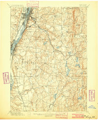
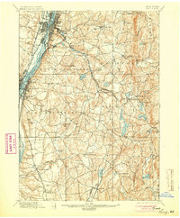
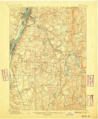
Editions of this 1898 Troy Map
8 editions found

Other maps of this area

1888 · Berlin
USGS Topo · 1:62,500

1888 · Pittsfield
USGS Topo · 1:62,500

1890 · Pittsfield
USGS Topo · 1:62,500

1890 · Berlin
USGS Topo · 1:62,500

1893 · Cohoes
USGS Topo · 1:62,500

1893 · Troy
USGS Topo · 1:62,500

1893 · Schenectady
USGS Topo · 1:62,500

1893 · Coxsackie
USGS Topo · 1:62,500

1893 · Pittsfield
USGS Topo · 1:62,500

1893 · Albany
USGS Topo · 1:62,500