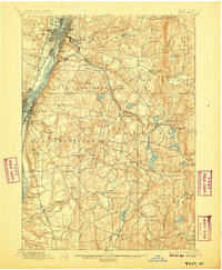
1898 Map of Troy
USGS Topo · Published 1907About this map
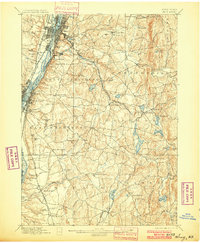
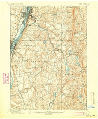
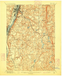
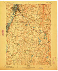
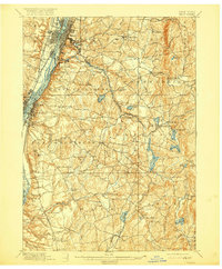
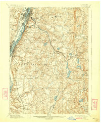
The Hudson River corridor serves as the industrial heart of this Rensselaer County landscape, where the Erie Canal and multiple rail lines converge at Troy and Watervliet. The survey, conducted by Frank Sutton and J.H. Jennings, reveals an intricate network of waterways powering early industry, including the Poesten Kill and Wynant Kill. To the east, the terrain rises into the highlands of Brunswick and Poestenkill, where numerous small lakes like Glass Lake and Sand Lake dot the countryside.
Find a feature on this map
95 named features on this map. Tap any name to fly to it.
Don’t see what you’re looking for? This feature index may not catch every label — zoom into the map to look around manually.
Map Details
Editions of this 1898 Troy Map
8 editions found

Other maps of this area

1888 · Berlin
USGS Topo · 1:62,500

1888 · Pittsfield
USGS Topo · 1:62,500

1890 · Pittsfield
USGS Topo · 1:62,500

1890 · Berlin
USGS Topo · 1:62,500

1893 · Cohoes
USGS Topo · 1:62,500

1893 · Troy
USGS Topo · 1:62,500

1893 · Schenectady
USGS Topo · 1:62,500

1893 · Coxsackie
USGS Topo · 1:62,500

1893 · Pittsfield
USGS Topo · 1:62,500

1893 · Albany
USGS Topo · 1:62,500