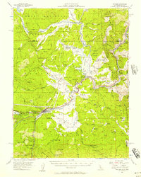
1955 Map of Truckee
USGS Topo · Published 1957About this map
Truckee stands as the central hub of this mid-century sierra landscape, where the Southern Pacific Railroad winds through the canyons alongside the Truckee River. The map reveals a region transitioning from its early industrial roots to a recreation and transport corridor. Significant timber and ranching history is evidenced by labels for the Old Schaeffer Mill (Site) and the Joerger Ranch in the wide expanse of Martis Valley.
Find a feature on this map
93 named features on this map. Tap any name to fly to it.
Don’t see what you’re looking for? This feature index may not catch every label — zoom into the map to look around manually.
Map Details
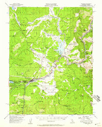
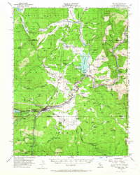
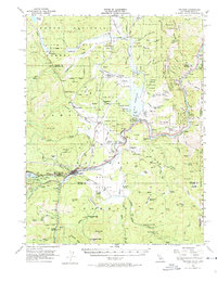
Editions of this 1955 Truckee Map
4 editions found
Other maps of this area

1890 · Sierraville
USGS Topo · 1:125,000

1891 · Carson
USGS Topo · 1:125,000

1891 · Truckee
USGS Topo · 1:125,000

1891 · Reno
USGS Topo · 1:125,000

1892 · Sierraville
USGS Topo · 1:125,000

1893 · Carson
USGS Topo · 1:125,000

1893 · Truckee
USGS Topo · 1:125,000

1893 · Reno
USGS Topo · 1:125,000

1894 · Sierraville
USGS Topo · 1:125,000

1895 · Truckee
USGS Topo · 1:125,000