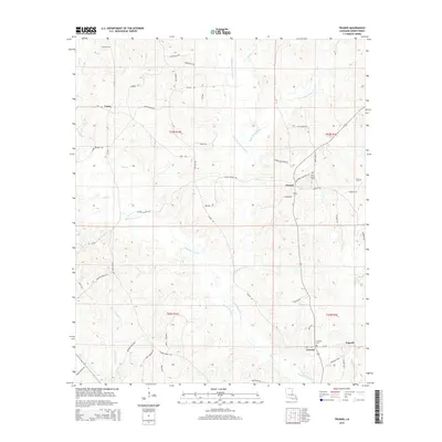
2015 Map of Truxno
USGS Topo · Published 2015About this map
Truxno and Conway serve as central points in this portion of Union Parish, where a network of rural roads connects scattered settlements across a landscape defined by the winding course of Bayou de Loutre. The terrain is deeply inscribed by water, featuring Jackson Slough and several smaller tributaries like Horse Trough Cr and Mark Beach Bayou. This environment fostered a dispersed community structure, evidenced by the numerous cemeteries and churches that anchor local history. Genealogists will find notable sites such as Birds Chapel Cem, Laran Cem, and Cook Cem positioned along the ridges. The presence of routes like La-550 and La-348 underscores the transition toward modern infrastructure while maintaining the traditional parish road network, including family-named thoroughfares like John Bailey Rd and George Burnside Rd.
Find a feature on this map
56 named features on this map. Tap any name to fly to it.
Don’t see what you’re looking for? This feature index may not catch every label — zoom into the map to look around manually.
Map Details
Editions of this 2015 Truxno Map
This is the sole edition of this map. No revisions or reprints were ever made.
Other maps of this area

1927 · El Dorado
USGS Topo · 1:62,500

1930 · El Dorado
USGS Topo · 1:62,500

1933 · Strong
USGS Topo · 1:62,500

1937 · Strong
USGS Topo · 1:62,500

1939 · Strong
USGS Topo · 1:62,500

1951 · Bernice
USGS Topo · 1:62,500

1951 · El Dorado
USGS Topo · 1:62,500

1952 · Farmerville
USGS Topo · 1:62,500

1953 · El Dorado
USGS Topo · 1:250,000

1955 · Shreveport
USGS Topo · 1:250,000