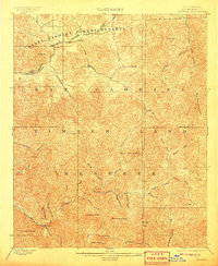
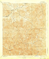
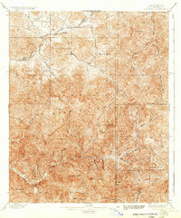
1900 Map of Tujunga
USGS Topo · Published 1908About this map
The Southern Pacific R. R. cuts through the high canyons of Los Angeles County on this 1897 survey, following the San Francisco and New Orleans Line through the rugged corridor of Soledad Canyon. This era captures the transition of the northern San Gabriel mountains from a frontier mining and ranching zone into protected federal lands, split between the Santa Barbara Forest Reserve and the San Gabriel Timber Land Reserve.
Find a feature on this map
47 named features on this map. Tap any name to fly to it.
Don’t see what you’re looking for? This feature index may not catch every label — zoom into the map to look around manually.
Map Details
Editions of this 1900 Tujunga Map
7 editions found
Other maps of this area

1894 · Los Angeles
USGS Topo · 1:62,500

1894 · Pomona
USGS Topo · 1:62,500

1896 · Pasadena
USGS Topo · 1:62,500

1896 · Santa Monica
USGS Topo · 1:62,500

1897 · Pomona
USGS Topo · 1:62,500

1898 · Pomona
USGS Topo · 1:62,500

1898 · Santa Monica
USGS Topo · 1:62,500

1900 · Pasadena
USGS Topo · 1:62,500

1900 · Tujunga
USGS Topo · 1:62,500

1900 · Los Angeles
USGS Topo · 1:62,500