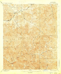
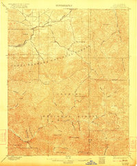
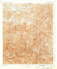
1900 Map of Tujunga
USGS Topo · Published 1929About this map
Monte Cristo Mines sit high in the rugged interior of the San Gabriel Mountains on this survey, reflecting the late 19th-century mining activity that drew prospectors into the steep canyons of the Angeles National Forest. Along the northern edge, the Southern Pacific R. R. follows the winding path of Soledad Canyon, providing a vital lifeline to small outposts like Acton, Ravenna, and Soledad.
Find a feature on this map
44 named features on this map. Tap any name to fly to it.
Don’t see what you’re looking for? This feature index may not catch every label — zoom into the map to look around manually.
Map Details
Editions of this 1900 Tujunga Map
7 editions found
Other maps of this area

1894 · Los Angeles
USGS Topo · 1:62,500

1894 · Pomona
USGS Topo · 1:62,500

1896 · Pasadena
USGS Topo · 1:62,500

1896 · Santa Monica
USGS Topo · 1:62,500

1897 · Pomona
USGS Topo · 1:62,500

1898 · Pomona
USGS Topo · 1:62,500

1898 · Santa Monica
USGS Topo · 1:62,500

1900 · Pasadena
USGS Topo · 1:62,500

1900 · Tujunga
USGS Topo · 1:62,500

1900 · Los Angeles
USGS Topo · 1:62,500