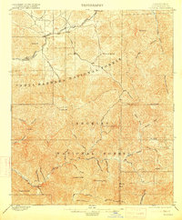
1900 Map of Tujunga
USGS Topo · Published 1915About this map
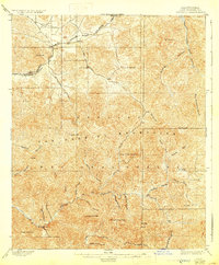
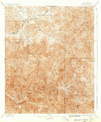
Monte Cristo Mines sit at the heart of the high country, surrounded by the steep terrain of the Angeles National Forest and Santa Barbara National Forest. Surveyed in the late 19th century, this map documents the canyon-and-peak landscape north of Pasadena before the expansion of the modern Los Angeles basin. The Southern Pacific R. R. follows the natural corridor of Soledad Canyon, connecting small railroad outposts like Acton, Ravenna, and Soledad.
Find a feature on this map
46 named features on this map. Tap any name to fly to it.
Don’t see what you’re looking for? This feature index may not catch every label — zoom into the map to look around manually.
Map Details
Editions of this 1900 Tujunga Map
7 editions found
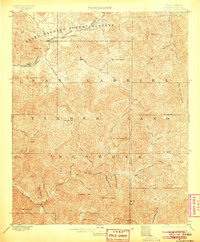
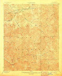
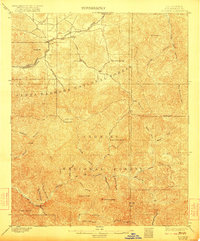
Other maps of this area

1894 · Los Angeles
USGS Topo · 1:62,500

1894 · Pomona
USGS Topo · 1:62,500

1896 · Pasadena
USGS Topo · 1:62,500

1896 · Santa Monica
USGS Topo · 1:62,500

1897 · Pomona
USGS Topo · 1:62,500

1898 · Pomona
USGS Topo · 1:62,500

1898 · Santa Monica
USGS Topo · 1:62,500

1900 · Pasadena
USGS Topo · 1:62,500

1900 · Tujunga
USGS Topo · 1:62,500

1900 · Los Angeles
USGS Topo · 1:62,500