
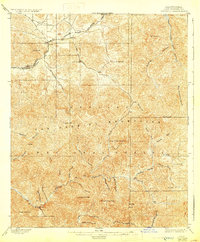
1900 Map of Tujunga
USGS Topo · Published 1900About this map
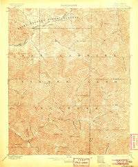
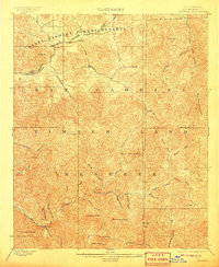
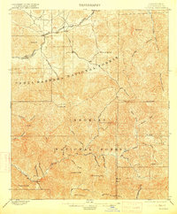
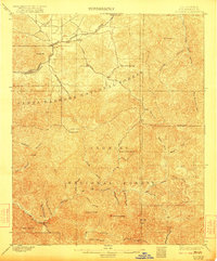
The San Gabriel Timber Land Reserve dominates this 1897 survey, illustrating a rugged mountain interior punctuated by early mining and ranching outposts. The Monte Cristo Mines sit deep within the drainage of Mill Creek, signaling the era's prospecting activity in the high canyons. Settlement is concentrated along the northern periphery where the S. P. R. R. follows the Soledad corridor through Ravenna and Acton, providing a vital transit link between the desert and the coast. Isolated outposts like Hoyt Ranch near Tujunga Creek and the high-elevation Barley Flats suggest the early seasonal use of these peaks before modern infrastructure arrived. The map's complex contouring traces the steep divides between the Big Tujunga Creek and the West Fork San Gabriel River, defining the watershed long before it became a suburban backdrop.
Find a feature on this map
45 named features on this map. Tap any name to fly to it.
Don’t see what you’re looking for? This feature index may not catch every label — zoom into the map to look around manually.
Map Details
Editions of this 1900 Tujunga Map
7 editions found
Other maps of this area

1894 · Los Angeles
USGS Topo · 1:62,500

1894 · Pomona
USGS Topo · 1:62,500

1896 · Pasadena
USGS Topo · 1:62,500

1896 · Santa Monica
USGS Topo · 1:62,500

1897 · Pomona
USGS Topo · 1:62,500

1898 · Pomona
USGS Topo · 1:62,500

1898 · Santa Monica
USGS Topo · 1:62,500

1900 · Pasadena
USGS Topo · 1:62,500

1900 · Los Angeles
USGS Topo · 1:62,500

1900 · Fernando
USGS Topo · 1:62,500