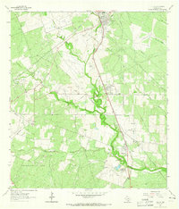
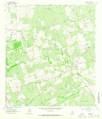
1963 Map of Tuleta
USGS Topo · Published 1965About this map
The Southern Pacific railroad corridor defines the development of this South Texas landscape, anchoring the settlements of Pettus, Tuleta, and Normanna along its route. During the early 1960s, the region was characterized by an extensive network of petroleum extraction, with the Pettus Oil Field, Tulsita Oil Field, and San Domingo Oil Field dominating the terrain. These fields are connected by a web of pipelines that traverse the watershed of Medio Creek and its tributaries. For those researching family history, the map records local landmarks such as the San Domingo Ranch, the Normanna Cem, and an Athletic Field near Pettus. The spatial arrangement of these industrial zones alongside established cattle ranches and small rail-stop towns illustrates the mid-century transition of the rural economy toward energy production while maintaining traditional agricultural footprints.
Find a feature on this map
32 named features on this map. Tap any name to fly to it.
Don’t see what you’re looking for? This feature index may not catch every label — zoom into the map to look around manually.
Map Details
Editions of this 1963 Tuleta Map
2 editions found
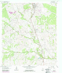
Other maps of this area

1936 · Pettus
USGS Topo · 1:62,500

1953 · Beeville
USGS Topo · 1:250,000

1954 · Skidmore
USGS Topo · 1:62,500

1954 · Fleming
USGS Topo · 1:62,500

1956 · Beeville
USGS Topo · 1:250,000

1956 · Pettus
USGS Topo · 1:62,500

1960 · Beeville
USGS Topo · 1:250,000
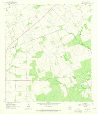
1963 · Monteola
USGS Topo · 1:24,000
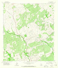
1963 · Tulsita
USGS Topo · 1:24,000
1963 · Mineral
USGS Topo · 1:24,000