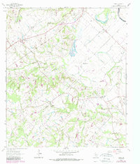
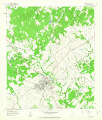
1962 Map of Tunis
USGS Topo · Published 1989About this map
The Brazos River winds along the eastern edge of this Burleson County landscape, defined by a network of creeks and sloughs that shaped early settlement patterns. Small communities like Tunis and Cooks Point anchor the rural infrastructure, which by the early 1960s included a mix of agricultural land and a developing Oil Field. The map reveals a dense concentration of community landmarks, particularly country churches such as San Salvador Ch and New Jerusalem Ch, alongside local schools like Cooks Point Sch. For genealogists, the placement of family and community burial grounds, including Salem Cem and Old Bethlehem Cem, provides essential spatial context for the region's heritage. The terrain is further etched by numerous watercourses like Reed Creek and Carrington Creek, illustrating the natural drainage system into the Moelhman Slough and the primary river valley.
Find a feature on this map
32 named features on this map. Tap any name to fly to it.
Don’t see what you’re looking for? This feature index may not catch every label — zoom into the map to look around manually.
Map Details
Editions of this 1962 Tunis Map
2 editions found
Other maps of this area

1914 · Gay Hill
USGS Topo · 1:62,500

1954 · Austin
USGS Topo · 1:250,000

1956 · Bryan
USGS Topo · 1:62,500

1956 · Caldwell
USGS Topo · 1:62,500

1956 · Somerville
USGS Topo · 1:62,500

1960 · Lyons
USGS Topo · 1:24,000
1960 · Snook
USGS Topo · 1:24,000
1960 · Frenstat
USGS Topo · 1:24,000
1961 · Caldwell
USGS Topo · 1:24,000

1961 · Mumford
USGS Topo · 1:24,000