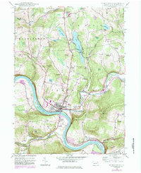
1946 Map of Tunkhannock
USGS Topo · Published 1984About this map
Tunkhannock serves as the focal point of this mid-century survey, situated at a major bend in the Susquehanna River where it meets Billings Creek. The landscape transitions from the river flats to the high elevations of Osterhout Mountain and Avery Mtn, illustrating the difficult topography that shaped local development. Transportation networks are prominent, featuring the Conrail railroad line and the Roosevelt Highway threading through the river valley.
Find a feature on this map
70 named features on this map. Tap any name to fly to it.
Don’t see what you’re looking for? This feature index may not catch every label — zoom into the map to look around manually.
Map Details
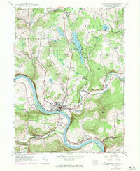
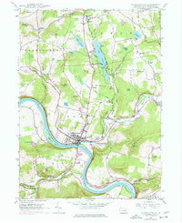
Editions of this 1946 Tunkhannock Map
Other maps of this area

1891 · Harveys Lake
USGS Topo · 1:62,500

1893 · Harvey Lake
USGS Topo · 1:62,500

1893 · Pittston
USGS Topo · 1:62,500

1943 · Scranton
USGS Topo · 1:125,000

1945 · Meshoppen
USGS Topo · 1:62,500

1945 · Auburn Center
USGS Topo · 1:24,000

1945 · Meshoppen
USGS Topo · 1:24,000

1946 · Tunkhannock
USGS Topo · 1:62,500

1946 · Noxen
USGS Topo · 1:24,000

1946 · Ransom
USGS Topo · 1:24,000
Featured Places
- Falls Township, PA
- Tunkhannock, PA
- Lemon Township, PA
- Brookside, Tunkhannock Township
- Marcy, Tunkhannock Township