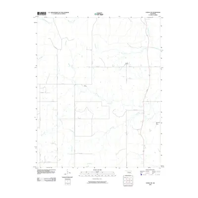
2009 Map of Tupelo NE
USGS Topo · Published 2009About this map
Muddy Boggy Creek and its many tributaries define this section of Coal County, where a network of section-line roads provides access to isolated ranchlands and small family landmarks. This landscape is characterized by its drainage patterns, with Rock Creek, Cedar Creek, and Black Creek carving paths through the terrain. The central portion of the map features the Globe Cemetery, a significant point of interest for genealogists and local historians documenting the early families of this rural district. While much of the land is dedicated to agricultural use, the presence of the Diamond Bar Ranch and the Rock Creek Farm Airport highlights the combination of traditional ranching and modern utility in this part of Oklahoma. The road network, including routes like Sandridge Rd and Pine Rd, connects these remote holdings to the broader region.
Find a feature on this map
28 named features on this map. Tap any name to fly to it.
Don’t see what you’re looking for? This feature index may not catch every label — zoom into the map to look around manually.
Map Details
Editions of this 2009 Tupelo NE Map
This is the sole edition of this map. No revisions or reprints were ever made.
Other maps of this area

1896 · Coalgate
USGS Topo · 1:125,000

1899 · Coalgate
USGS Topo · 1:125,000

1900 · Coalgate
USGS Topo · 1:125,000

1957 · Coalgate
USGS Topo · 1:24,000

1957 · Centrahoma
USGS Topo · 1:24,000

1957 · Tupelo NE
USGS Topo · 1:24,000

1957 · Ardmore
USGS Topo · 1:250,000

1958 · Lula
USGS Topo · 1:24,000

1958 · Steedman
USGS Topo · 1:24,000

1963 · Ardmore
USGS Topo · 1:250,000