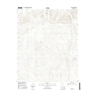
2016 Map of Tupelo NE
USGS Topo · Published 2016About this map
Muddy Boggy Cr and its various tributaries, such as Rock Cr and Peach Cr, define the drainage patterns of this rural Oklahoma landscape north of Tupelo. The area is characterized by a sparse, gridded road network that services local landholdings, including Louis Cemetery Rd and Dempsey Rd. Central to the community's heritage is Globe Cem, located near the intersection of several unnamed section lines. A notable modern development in this primarily agricultural and hydrological landscape is the Rock Creek Farm Airport, situated in the eastern portion of the quadrangle. The map details the subtle elevation changes near Owl Cr and Black Cr, providing a precise look at the terrain as it appeared during the mid-2010s.
Find a feature on this map
30 named features on this map. Tap any name to fly to it.
Don’t see what you’re looking for? This feature index may not catch every label — zoom into the map to look around manually.
Map Details
Editions of this 2016 Tupelo NE Map
This is the sole edition of this map. No revisions or reprints were ever made.
Other maps of this area

1896 · Coalgate
USGS Topo · 1:125,000

1899 · Coalgate
USGS Topo · 1:125,000

1900 · Coalgate
USGS Topo · 1:125,000

1957 · Coalgate
USGS Topo · 1:24,000

1957 · Centrahoma
USGS Topo · 1:24,000

1957 · Tupelo NE
USGS Topo · 1:24,000

1957 · Ardmore
USGS Topo · 1:250,000

1958 · Lula
USGS Topo · 1:24,000

1958 · Steedman
USGS Topo · 1:24,000

1963 · Ardmore
USGS Topo · 1:250,000