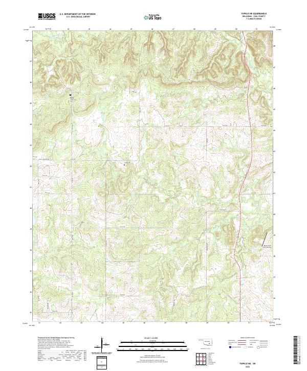
2022 Map of Tupelo NE
USGS Topo · Published 2022About this map
Boiling Spring Indian Cem and Globe Cem anchor the social landscape of this Coal County region, where the terrain is deeply etched by a dense network of watercourses. The drainage of Muddy Boggy Cr and its many tributaries, including Rock Cr, Turkey Cr, and Cedar Cr, dictates the placement of the section-line road network. These creeks carve a pattern of low ridges and valleys across the countryside. The presence of Rock Creek Farm Airport highlights the continued agricultural and private aviation utility of the land. Local history and family ties are further evidenced by named thoroughfares such as Louis Cemetery Rd, Bridges Rd, and Dempsey Rd, which follow the traditional Public Land Survey System boundaries typical of Oklahoma's rural geography.
Find a feature on this map
36 named features on this map. Tap any name to fly to it.
Don’t see what you’re looking for? This feature index may not catch every label — zoom into the map to look around manually.
Map Details
Editions of this 2022 Tupelo NE Map
This is the sole edition of this map. No revisions or reprints were ever made.
Other maps of this area

1896 · Coalgate
USGS Topo · 1:125,000

1899 · Coalgate
USGS Topo · 1:125,000

1900 · Coalgate
USGS Topo · 1:125,000

1957 · Coalgate
USGS Topo · 1:24,000

1957 · Centrahoma
USGS Topo · 1:24,000

1957 · Tupelo NE
USGS Topo · 1:24,000

1957 · Ardmore
USGS Topo · 1:250,000

1958 · Lula
USGS Topo · 1:24,000

1958 · Steedman
USGS Topo · 1:24,000

1963 · Ardmore
USGS Topo · 1:250,000