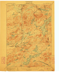
1907 Map of Tupper Lake
USGS Topo · Published 1910About this map
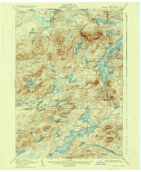
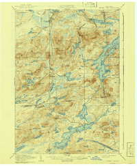
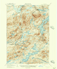
Piercefield and the Adirondack Division of the New York Central and Hudson River railroad anchor this early 20th-century landscape. The map reveals a mountain region defined by timber and transit, with the railroad cutting a path through the dense network of ponds and peaks. Notable landmarks include the Grass River Club and the Usher Farm, illustrating the mix of private retreats and early agricultural attempts in the area. Further south, Long Lake West Sabattis P O serves as a critical junction for the remote interior.
Find a feature on this map
109 named features on this map. Tap any name to fly to it.
Don’t see what you’re looking for? This feature index may not catch every label — zoom into the map to look around manually.
Map Details
Editions of this 1907 Tupper Lake Map
8 editions found
Other maps of this area

1903 · Big Moose
USGS Topo · 1:62,500

1903 · Raquette Lake
USGS Topo · 1:62,500

1903 · Blue Mountain
USGS Topo · 1:62,500

1904 · Long Lake
USGS Topo · 1:62,500

1905 · Saint Regis
USGS Topo · 1:62,500

1907 · Tupper Lake
USGS Topo · 1:62,500

1919 · Cranberry Lake
USGS Topo · 1:62,500

1920 · Childwold
USGS Topo · 1:62,500

1921 · Cranberry Lake
USGS Topo · 1:62,500

1921 · Childwold
USGS Topo · 1:48,000