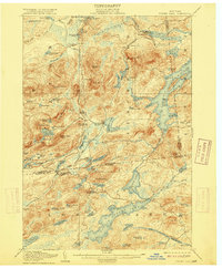
1907 Map of Tupper Lake
USGS Topo · Published 1915About this map
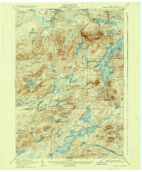
Piercefield serves as a focal point on the Adirondack Division of the railroad, which threads through this heavily glaciated landscape. The 1903-1904 survey reveals a transition from industrial activity to private recreation, evidenced by the Grass River Club and remote camps. Along the rail line, specific stops like Childwold Sta and Piercefield Sta provided access to the region's interior during a period when the timber and tourism industries were deeply intertwined. Higher elevations such as Arab Mtn and Long Tom Mountain overlook a complex network of waterways, including Massawepie Lake and Horseshoe Lake. The settlement at Long Lake West Sabattis P O illustrates the importance of the rail corridor for mail and local commerce, while small family landmarks like Ushers Farm ground the topography in the human history of the northern woods.
Find a feature on this map
103 named features on this map. Tap any name to fly to it.
Don’t see what you’re looking for? This feature index may not catch every label — zoom into the map to look around manually.
Map Details
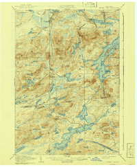
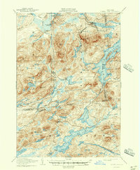
Editions of this 1907 Tupper Lake Map
8 editions found
Other maps of this area

1903 · Big Moose
USGS Topo · 1:62,500

1903 · Raquette Lake
USGS Topo · 1:62,500

1903 · Blue Mountain
USGS Topo · 1:62,500

1904 · Long Lake
USGS Topo · 1:62,500

1905 · Saint Regis
USGS Topo · 1:62,500

1907 · Tupper Lake
USGS Topo · 1:62,500

1919 · Cranberry Lake
USGS Topo · 1:62,500

1920 · Childwold
USGS Topo · 1:62,500

1921 · Cranberry Lake
USGS Topo · 1:62,500

1921 · Childwold
USGS Topo · 1:48,000