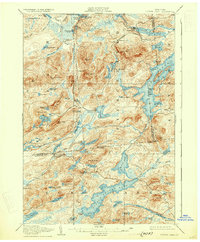
1907 Map of Tupper Lake
USGS Topo · Published 1931About this map
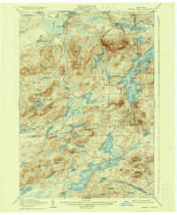
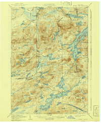
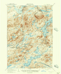
Piercefield and its industrial surroundings center this survey, showing the complex interaction between water power and rail transit in the Adirondack interior. The New York Central and Hudson River Railroad cuts a winding path through the lake-heavy landscape, supporting isolated outposts like Childwold Sta and Robinwood. Significant logging and recreational interests are evident through features like the Grass River Club and the extensive Piercefield Flow on the Raquette River. The geography is defined by an intricate network of waterways including Massawepie Lake and Horseshoe Lake, while the convergence of three county lines at the southeastern corner of Tupper Lake highlights the region's jurisdictional complexity during this era of early 20th-century development.
Find a feature on this map
111 named features on this map. Tap any name to fly to it.
Don’t see what you’re looking for? This feature index may not catch every label — zoom into the map to look around manually.
Map Details
Editions of this 1907 Tupper Lake Map
8 editions found
Other maps of this area

1903 · Big Moose
USGS Topo · 1:62,500

1903 · Raquette Lake
USGS Topo · 1:62,500

1903 · Blue Mountain
USGS Topo · 1:62,500

1904 · Long Lake
USGS Topo · 1:62,500

1905 · Saint Regis
USGS Topo · 1:62,500

1907 · Tupper Lake
USGS Topo · 1:62,500

1919 · Cranberry Lake
USGS Topo · 1:62,500

1920 · Childwold
USGS Topo · 1:62,500

1921 · Cranberry Lake
USGS Topo · 1:62,500

1921 · Childwold
USGS Topo · 1:48,000