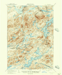
1907 Map of Tupper Lake
USGS Topo · Published 1947About this map
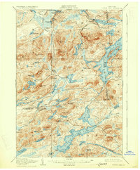
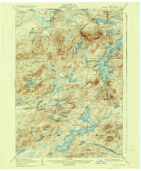
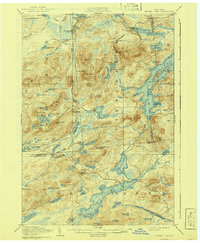
The Racquette River and New York Central railroad corridor define the industrial and transit landscape of the central Adirondacks at the turn of the century. The village of Piercefield serves as a primary hub of activity, supported by Piercefield Sta and the nearby Childwold Sta along the rail line. This 1907 survey captures a period when isolated outposts like the Usher Farm and the settlement at Horseshoe relied on these iron arteries for connection to the outside world. To the south, the community of Long Lake West Sabattis P.O. stands as a notable waypoint for travelers and mail. The map meticulously documents the transition from the river-driven economy to rail, featuring prominent peaks such as Arab Mtn and Loon Pond Mtn that overlook a complex network of waterways including Tupper Lake and Massawepie Lake.
Find a feature on this map
108 named features on this map. Tap any name to fly to it.
Don’t see what you’re looking for? This feature index may not catch every label — zoom into the map to look around manually.
Map Details
Editions of this 1907 Tupper Lake Map
8 editions found
Other maps of this area

1903 · Big Moose
USGS Topo · 1:62,500

1903 · Raquette Lake
USGS Topo · 1:62,500

1903 · Blue Mountain
USGS Topo · 1:62,500

1904 · Long Lake
USGS Topo · 1:62,500

1905 · Saint Regis
USGS Topo · 1:62,500

1907 · Tupper Lake
USGS Topo · 1:62,500

1919 · Cranberry Lake
USGS Topo · 1:62,500

1920 · Childwold
USGS Topo · 1:62,500

1921 · Cranberry Lake
USGS Topo · 1:62,500

1921 · Childwold
USGS Topo · 1:48,000