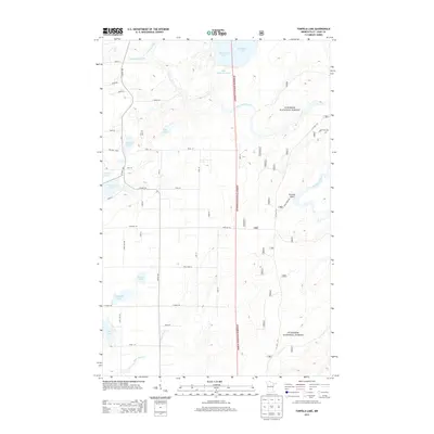
2013 Map of Turpela Lake
USGS Topo · Published 2013About this map
The Superior National Forest dominates the eastern landscape of this 2013 survey, where the Saint Louis River snakes through the dense woodland of northern Minnesota. This region is defined by its glacial hydrology, featuring a cluster of named lakes including Turpela Lake, Hautala Lake, and Kumpula Lake. The map reveals a complex water management system north of Norway Point, evidenced by the White Water Reservoir and Whitewater Lake sitting adjacent to the Partridge River.
Find a feature on this map
58 named features on this map. Tap any name to fly to it.
Don’t see what you’re looking for? This feature index may not catch every label — zoom into the map to look around manually.
Map Details
Editions of this 2013 Turpela Lake Map
This is the sole edition of this map. No revisions or reprints were ever made.
Other maps of this area

1949 · Aurora
USGS Topo · 1:24,000

1949 · Allen
USGS Topo · 1:24,000

1950 · Allen
USGS Topo · 1:24,000

1950 · Aurora
USGS Topo · 1:24,000

1950 · Biwabik
USGS Topo · 1:24,000

1951 · Biwabik
USGS Topo · 1:24,000

1951 · Palo
USGS Topo · 1:24,000

1951 · Makinen
USGS Topo · 1:24,000

1954 · Hibbing
USGS Topo · 1:250,000

1957 · Hibbing
USGS Topo · 1:250,000