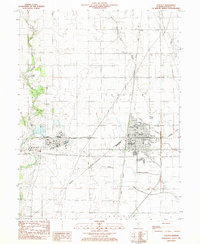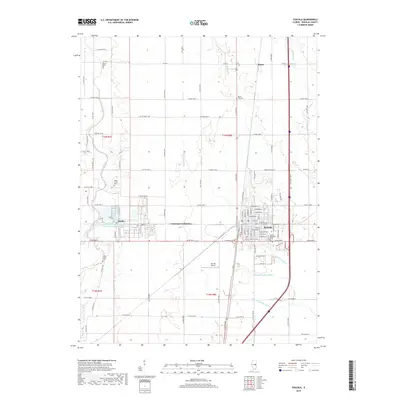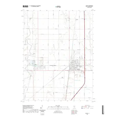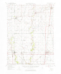
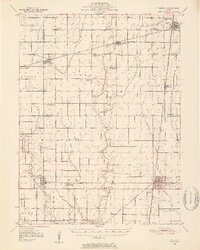
1950 Map of Tuscola
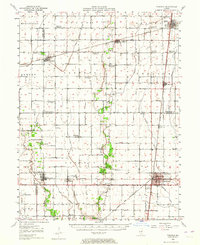
USGS Topo · Published 1976About this map
The rail-driven prairie landscape of east-central Illinois is meticulously detailed in this 1950s survey, dominated by the junctions of the Illinois Central, Wabash, and Baltimore and Ohio railroads. The town of Tuscola serves as a major hub where these lines converge, surrounded by a grid of agricultural townships like Pesotum and Unity. This era captured on the map reflects a turning point in rural infrastructure, shown through a high density of decommissioned educational sites such as Chambers Sch and Stewart Sch, signaling the consolidation of one-room schoolhouses.
Find a feature on this map
61 named features on this map. Tap any name to fly to it.
Don’t see what you’re looking for? This feature index may not catch every label — zoom into the map to look around manually.
Map Details
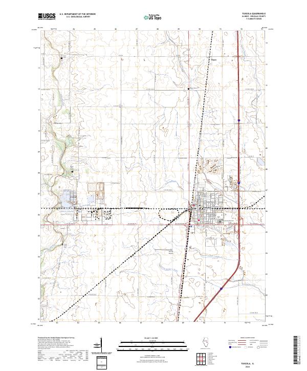
Editions of this 1950 Tuscola Map
4 editions found

Historical Maps of Tuscola Through Time
8 maps found