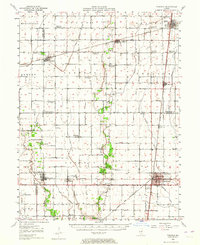
1950 Map of Tuscola
USGS Topo · Published 1964About this map
The town of Tuscola serves as a major rail junction in this mid-century survey, where the Illinois Central, Baltimore and Ohio, and Chicago and Eastern Illinois railroads converge. This landscape reflects the transition of rural Illinois at a time when local school districts were consolidating, evidenced by numerous labeled sites like Casey Sch (Abandoned), Chambers Sch (Abandoned), and Harshbarger Sch (Abandoned). These small buildings, once the centers of their respective rural townships, sit alongside family and community burial grounds such as Mackville Cem and Rock Cem.
Find a feature on this map
63 named features on this map. Tap any name to fly to it.
Don’t see what you’re looking for? This feature index may not catch every label — zoom into the map to look around manually.
Map Details
Editions of this 1950 Tuscola Map
4 editions found

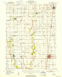
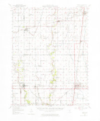
Other maps of this area

1906 · Urbana
USGS Topo · 1:62,500

1907 · Mahomet
USGS Topo · 1:62,500

1935 · Arcola
USGS Topo · 1:48,000

1935 · Sullivan
USGS Topo · 1:48,000

1936 · Oakland
USGS Topo · 1:48,000

1937 · Monticello
USGS Topo · 1:48,000

1940 · Sullivan
USGS Topo · 1:62,500

1940 · Arcola
USGS Topo · 1:62,500

1942 · Oakland
USGS Topo · 1:62,500

1943 · Monticello
USGS Topo · 1:62,500