Loading...
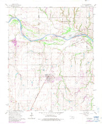
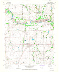
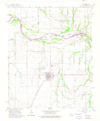
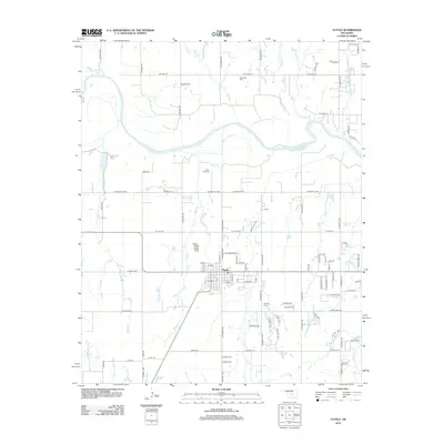
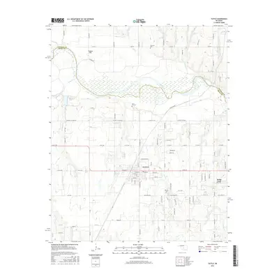
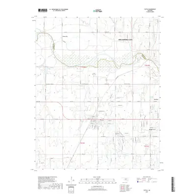
Loading map...1966 Map of Tuttle
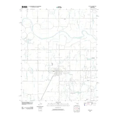
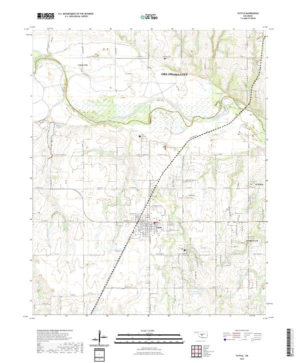
USGS Topo · Published 1983About this map
The Canadian River forms the central spine of this landscape, marking a winding boundary between Grady and Canadian counties. Along its northern banks, the southern reaches of Oklahoma City and Union City expand toward the water, while the town of Tuttle anchors the southern side of the valley. This mid-1960s perspective captures the area's transition into a more structured municipal layout, yet it remains deeply connected to its agricultural and industrial roots.
Find a feature on this map
28 named features on this map. Tap any name to fly to it.
Don’t see what you’re looking for? This feature index may not catch every label — zoom into the map to look around manually.
Map Details
Date Portrayed1966
Date Published1983
PublisherU.S. Geological Survey
Map TypeTopographic
Scale1:24,000
Physical Dimensions22.5 x 27.4 inches
Editions of this 1966 Tuttle Map
3 editions found
Historical Maps of Oklahoma City Through Time
6 maps found
Featured Locations
Source Details
SourceU.S. Geological Survey
CopyrightPublic Domain