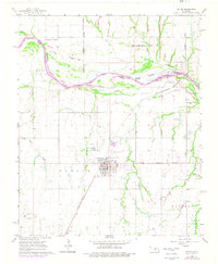
1966 Map of Tuttle
USGS Topo · Published 1976About this map
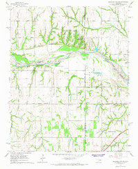
The Canadian River meanders across this central Oklahoma landscape, defining the boundaries between Grady and Canadian Counties. The town of Tuttle serves as a primary hub, shown here during a mid-century period of growth with its grid of streets and Sewage Disposal Ponds mapped in detail. To the north, the corporate limits of Oklahoma City and Union City press toward the river, illustrating the northward expansion of the regional metropolitan area.
Find a feature on this map
36 named features on this map. Tap any name to fly to it.
Don’t see what you’re looking for? This feature index may not catch every label — zoom into the map to look around manually.
Map Details
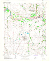
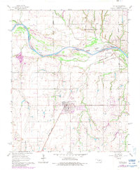
Editions of this 1966 Tuttle Map
3 editions found
Other maps of this area

1893 · Oklahoma City
USGS Topo · 1:62,500

1893 · Minco
USGS Topo · 1:62,500

1904 · Chickasha
USGS Topo · 1:125,000

1954 · Oklahoma City
USGS Topo · 1:250,000

1956 · Oklahoma City
USGS Topo · 1:62,500

1957 · Oklahoma City
USGS Topo · 1:250,000

1963 · Oklahoma City
USGS Topo · 1:250,000
1965 · Blanchard
USGS Topo · 1:24,000
1965 · Oklahoma City SW
USGS Topo · 1:24,000
1966 · Minco NE
USGS Topo · 1:24,000