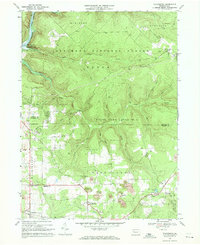
1967 Map of Tylersburg
USGS Topo · Published 1971About this map
The Allegheny National Forest covers much of this landscape in the late 1960s, punctuated by numerous Gas Wells and small clearings for Strip Mines. The settlement of Tylersburg sits at a crossroads in the southern portion of the map, served by the Baltimore and Ohio railroad line. This corridor reflects the region's industrial character, where resource extraction and timbering intersect with rural community life.
Find a feature on this map
43 named features on this map. Tap any name to fly to it.
Don’t see what you’re looking for? This feature index may not catch every label — zoom into the map to look around manually.
Map Details
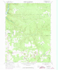
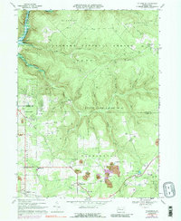
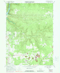
Editions of this 1967 Tylersburg Map
4 editions found
Other maps of this area

1918 · Loleta
USGS Topo · 1:62,500

1922 · Tionesta
USGS Topo · 1:62,500

1924 · Tionesta
USGS Topo · 1:62,500

1927 · Tidioute
USGS Topo · 1:48,000

1930 · Tidioute
USGS Topo · 1:62,500

1935 · Sheffield
USGS Topo · 1:48,000

1936 · Marienville
USGS Topo · 1:48,000

1941 · Sheffield
USGS Topo · 1:62,500

1941 · Marienville
USGS Topo · 1:62,500

1946 · Tionesta
USGS Topo · 1:62,500
Featured Places
- Kingsley Township, PA
- Lickingville, PA
- Guitonville, Green Township
- Green Township, PA
- Frills Corners, PA