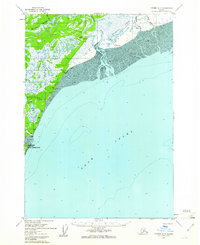
1958 Map of Tyonek A-3
USGS Topo · Published 1961About this map
The western shoreline of Cook Inlet in the late 1950s is defined by a vast expanse of tidal mud and complex river deltas. The Beluga River and Theodore River dominate the northern landscape, where seasonal infrastructure like the Winter Airstrip and scattered Cabins suggest a reliance on aviation and seasonal resources. Near the coast, the Moquawkie (Tyonek) Indian Reservation sits just south of the Chuit Flats, marking a significant cultural and geographic boundary in this maritime region.
Find a feature on this map
24 named features on this map. Tap any name to fly to it.
Don’t see what you’re looking for? This feature index may not catch every label — zoom into the map to look around manually.
Map Details
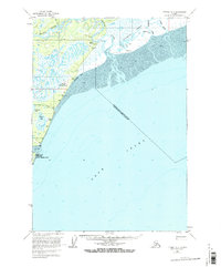
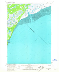
Editions of this 1958 Tyonek A-3 Map
3 editions found
Other maps of this area

1944 · Kenai
USGS Topo · 1:250,000

1949 · Tyonek
USGS Topo · 1:250,000

1950 · Kenai
USGS Topo · 1:250,000

1950 · Kenai D-4
USGS Topo · 1:63,360

1951 · Tyonek
USGS Topo · 1:250,000

1951 · Kenai D-3
USGS Topo · 1:63,360

1951 · Kenai D-2
USGS Topo · 1:63,360

1951 · Tyonek A-2
USGS Topo · 1:63,360

1952 · Kenai D-3
USGS Topo · 1:63,360

1952 · Kenai D-2
USGS Topo · 1:63,360