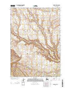
2013 Map of Tyonek A-5 NE
USGS Topo · Published 2013About this map
The Chuitna River carves a dominant path through this portion of the Kenai Peninsula, where the landscape is defined by the complex drainage systems of the Wolverine Fork and Chuit Cr. This 2013 survey illustrates a wilderness area characterized by significant elevation changes and high-latitude watercourses, providing a clear view of the natural topography before any modern industrial footprint. The presence of Lone Ridge to the east serves as a primary navigational landmark overlooking the river valleys. This map is essential for understanding the hydrological patterns of the region, where seasonal meltwater from the higher elevations feeds into the major river systems that eventually reach the Cook Inlet, shaping the local geography.
Find a feature on this map
7 named features on this map. Tap any name to fly to it.
Don’t see what you’re looking for? This feature index may not catch every label — zoom into the map to look around manually.
Map Details
Editions of this 2013 Tyonek A-5 NE Map
This is the sole edition of this map. No revisions or reprints were ever made.
Other maps of this area

1949 · Tyonek
USGS Topo · 1:250,000

1951 · Tyonek
USGS Topo · 1:250,000

1954 · Tyonek B-4
USGS Topo · 1:63,360

1958 · Tyonek A-5
USGS Topo · 1:63,360

1958 · Tyonek A-4
USGS Topo · 1:63,360

1958 · Tyonek B-5
USGS Topo · 1:63,360

1958 · Tyonek
USGS Topo · 1:250,000

1965 · Tyonek
USGS Topo · 1:250,000
2013 · Tyonek B-5 SE
USGS Topo · 1:25,000
2013 · Tyonek A-5 NW
USGS Topo · 1:25,000