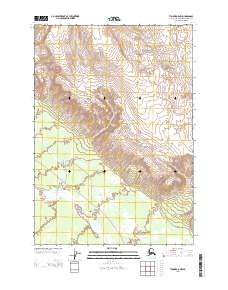
2013 Map of Tyonek A-5 NW
USGS Topo · Published 2013About this map
Chuitna River flows through the northern reaches of this coastal Alaskan landscape, marking a region defined by complex glacial and alluvial drainage systems. The terrain is dominated by the descent of Nikolai Cr and its tributaries as they move south toward the larger glacial outwash plains. In the southern portion of the sheet, the Chakachatna River and Chuitkilnachna Cr create a web of braided waterways across the lowlands of the Kenai Peninsula Borough. This 2013 survey illustrates the remote wilderness character of the area, where natural watercourses like Straight Cr provide the primary geographical structure in a landscape devoid of named roads or permanent settlements. The map's contour lines reveal the sharp transition from the higher elevations in the north to the delta-like plains near the coast.
Find a feature on this map
8 named features on this map. Tap any name to fly to it.
Don’t see what you’re looking for? This feature index may not catch every label — zoom into the map to look around manually.
Map Details
Editions of this 2013 Tyonek A-5 NW Map
This is the sole edition of this map. No revisions or reprints were ever made.
Other maps of this area

1949 · Tyonek
USGS Topo · 1:250,000

1951 · Tyonek
USGS Topo · 1:250,000

1958 · Tyonek A-6
USGS Topo · 1:63,360

1958 · Tyonek A-5
USGS Topo · 1:63,360

1958 · Tyonek B-5
USGS Topo · 1:63,360

1958 · Tyonek B-6
USGS Topo · 1:63,360

1958 · Tyonek
USGS Topo · 1:250,000
1959 · Tyonek A-6
USGS Topo · 1:63,360

1965 · Tyonek
USGS Topo · 1:250,000
2013 · Tyonek B-5 SE
USGS Topo · 1:25,000