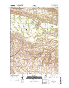
2013 Map of Tyonek B-5 SE
USGS Topo · Published 2013About this map
Chichantna River flows through the northern reaches of this Alaskan terrain, marking a landscape defined by glacial runoff and shifting watercourses. In the early 21st century, this area within the Kenai Peninsula Borough remains a wilderness of braided streams and deep valleys, where Chichantna Cr and Capps Cr carve through the high elevations. The mapping of the Wolverine Fork and Bishop Cr reveals a complex drainage system that feeds into the regional watersheds, highlighting the natural geography before significant human infrastructure reached these remote sections. Researchers can examine the detailed contour intervals to understand the topographical transitions between the township lines of T 15 N and T 14 N, documenting the pristine state of the land at the time of this 2013 survey.
Find a feature on this map
9 named features on this map. Tap any name to fly to it.
Don’t see what you’re looking for? This feature index may not catch every label — zoom into the map to look around manually.
Map Details
Editions of this 2013 Tyonek B-5 SE Map
This is the sole edition of this map. No revisions or reprints were ever made.
Other maps of this area

1949 · Tyonek
USGS Topo · 1:250,000

1951 · Tyonek
USGS Topo · 1:250,000

1954 · Tyonek B-4
USGS Topo · 1:63,360

1958 · Tyonek A-5
USGS Topo · 1:63,360

1958 · Tyonek A-4
USGS Topo · 1:63,360

1958 · Tyonek B-5
USGS Topo · 1:63,360

1958 · Tyonek
USGS Topo · 1:250,000

1965 · Tyonek
USGS Topo · 1:250,000
2013 · Tyonek A-5 NW
USGS Topo · 1:25,000
2013 · Tyonek A-4 NW
USGS Topo · 1:25,000