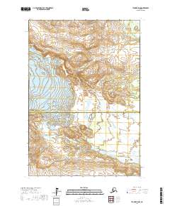
2017 Map of Tyonek B-5 NW
USGS Topo · Published 2017About this map
Triumvirate Glacier dominates the central landscape of this wilderness region, marking the slow geological transition of the Alaskan sub-arctic. This 2017 survey documents the precise boundary line between the Matanuska-Susitna Borough and the Kenai Peninsula Borough, which bisects the quadrangle horizontally. The ice field's edge sits adjacent to Strandline Lake, a significant water body formed by the glacial margins in the northwestern sector. Further north, the headwaters of W Fork Coal Cr drain the high country, illustrating the hydraulic patterns of the Cook Inlet watershed. This map provides a technical baseline for tracking glacial retreat and drainage shifts in an area defined by its massive ice features and topographical relief.
Find a feature on this map
6 named features on this map. Tap any name to fly to it.
Don’t see what you’re looking for? This feature index may not catch every label — zoom into the map to look around manually.
Map Details
Editions of this 2017 Tyonek B-5 NW Map
This is the sole edition of this map. No revisions or reprints were ever made.
Other maps of this area

1949 · Tyonek
USGS Topo · 1:250,000

1951 · Tyonek
USGS Topo · 1:250,000

1954 · Tyonek C-5
USGS Topo · 1:63,360

1958 · Tyonek C-6
USGS Topo · 1:63,360

1958 · Tyonek B-5
USGS Topo · 1:63,360

1958 · Tyonek B-6
USGS Topo · 1:63,360

1958 · Tyonek
USGS Topo · 1:250,000

1965 · Tyonek
USGS Topo · 1:250,000
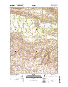
2013 · Tyonek B-5 SE
USGS Topo · 1:25,000
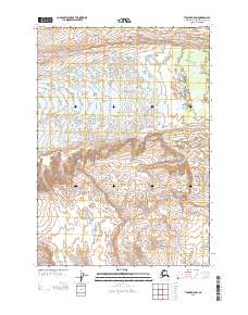
2013 · Tyonek B-5 SW
USGS Topo · 1:25,000