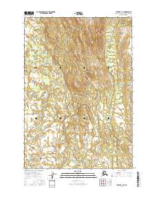
2016 Map of Tyonek C-4 SE
USGS Topo · Published 2016About this map
The Talachulitna River winds through this expanse of the Matanuska-Susitna Borough, defining the low-lying drainage patterns of a landscape dominated by wetlands and complex river systems. This 2016 survey captures the area within the Cook Inlet region, showing a transition between the elevated terrain to the north and the intricate water networks of the south. The river itself is the primary geographical anchor, carving a path through various townships including t18n r11w and t17n r11w. The topography is detailed with ten-foot contour intervals, illustrating the subtle elevation changes that dictate the flow of the Talachulitna River and its surrounding marshlands. It is a portrait of a modern Alaskan wilderness where natural watercourses remain the most significant features of the land, largely undisturbed by infrastructure or permanent settlement.
Find a feature on this map
7 named features on this map. Tap any name to fly to it.
Don’t see what you’re looking for? This feature index may not catch every label — zoom into the map to look around manually.
Map Details
Editions of this 2016 Tyonek C-4 SE Map
This is the sole edition of this map. No revisions or reprints were ever made.
Other maps of this area

1949 · Tyonek
USGS Topo · 1:250,000

1951 · Tyonek
USGS Topo · 1:250,000

1954 · Tyonek C-4
USGS Topo · 1:63,360

1954 · Tyonek B-4
USGS Topo · 1:63,360

1954 · Tyonek C-3
USGS Topo · 1:63,360

1958 · Tyonek B-3
USGS Topo · 1:63,360

1958 · Tyonek
USGS Topo · 1:250,000

1965 · Tyonek
USGS Topo · 1:250,000
1993 · Tyonek C-3
USGS Topo · 1:63,360
2016 · Tyonek C-4 NW
USGS Topo · 1:25,000