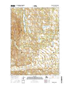
2016 Map of Tyonek C-4 SW
USGS Topo · Published 2016About this map
Trinity Lake and the winding course of Talachulitna Cr dominate this interior Alaskan landscape within the Matanuska-Susitna Borough. This 2016 survey captures a region defined by complex hydrology and wetland systems, where elevation contours reveal a series of low-lying ridges and basins west of the Susitna River valley. The terrain is largely unsettled, following the public land survey system through multiple townships including t17n r12w and t18n r12w. To the north, Movie Lake sits among a cluster of smaller, unnamed water bodies and marshlands that characterize this subarctic environment. The lack of established road infrastructure or named settlements on this sheet highlights the wilderness character of the area, making it a primary resource for understanding the natural drainage patterns and topographical layout of this specific section of the Alaskan bush.
Find a feature on this map
9 named features on this map. Tap any name to fly to it.
Don’t see what you’re looking for? This feature index may not catch every label — zoom into the map to look around manually.
Map Details
Editions of this 2016 Tyonek C-4 SW Map
This is the sole edition of this map. No revisions or reprints were ever made.
Other maps of this area

1949 · Tyonek
USGS Topo · 1:250,000

1951 · Tyonek
USGS Topo · 1:250,000

1954 · Tyonek C-5
USGS Topo · 1:63,360

1954 · Tyonek C-4
USGS Topo · 1:63,360

1954 · Tyonek B-4
USGS Topo · 1:63,360

1958 · Tyonek B-5
USGS Topo · 1:63,360

1958 · Tyonek
USGS Topo · 1:250,000

1965 · Tyonek
USGS Topo · 1:250,000
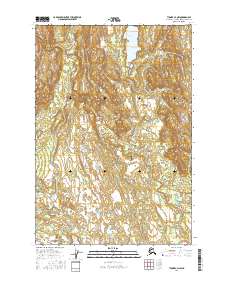
2016 · Tyonek C-4 NW
USGS Topo · 1:25,000
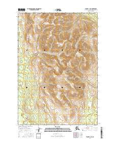
2016 · Tyonek C-4 NE
USGS Topo · 1:25,000