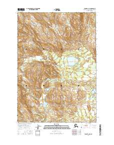
2016 Map of Tyonek C-5 SE
USGS Topo · Published 2016About this map
Mt Oliver anchors the high terrain of this landscape in the Matanuska-Susitna Borough, where steep slopes give way to a complex drainage network. The hydrology of the region is defined by Talachulitna Cr, which flows through the central lowlands, and Coal Creek in the south. Judd Lake serves as a prominent landmark amidst the wetlands and glacial features that dominate the lower elevations. The survey records the public land system grid across multiple townships, including t18n r13w and t17n r12w, illustrating the intersection of remote mountain topography and the administrative structure of the Alaskan interior.
Find a feature on this map
10 named features on this map. Tap any name to fly to it.
Don’t see what you’re looking for? This feature index may not catch every label — zoom into the map to look around manually.
Map Details
Editions of this 2016 Tyonek C-5 SE Map
This is the sole edition of this map. No revisions or reprints were ever made.
Other maps of this area

1949 · Tyonek
USGS Topo · 1:250,000

1951 · Tyonek
USGS Topo · 1:250,000

1954 · Tyonek C-5
USGS Topo · 1:63,360

1954 · Tyonek C-4
USGS Topo · 1:63,360

1954 · Tyonek B-4
USGS Topo · 1:63,360

1958 · Tyonek B-5
USGS Topo · 1:63,360

1958 · Tyonek
USGS Topo · 1:250,000

1965 · Tyonek
USGS Topo · 1:250,000
2016 · Tyonek C-4 NW
USGS Topo · 1:25,000
2016 · Tyonek B-5 NE
USGS Topo · 1:25,000