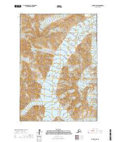
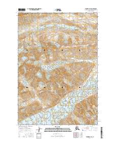
2017 Map of Tyonek C-7 NW
USGS Topo · Published 2017About this map
Hayes Glacier and Trimble Glacier dominate this high-elevation Alaskan terrain within the Matanuska-Susitna Borough. This 2017 survey illustrates a stark, ice-carved landscape defined by complex contouring and glacial movement within the boundaries of t19n r18w and t18n r18w. The map provides a detailed record of the glacial margins as they existed in the early twenty-first century, offering a baseline for studying the shifting ice mass of the Alaska Range. As a modern digital-era topographic study, it prioritizes precise elevation data and hydrographic flow across a region defined entirely by its glacial geology.
Find a feature on this map
4 named features on this map. Tap any name to fly to it.
Don’t see what you’re looking for? This feature index may not catch every label — zoom into the map to look around manually.
Map Details
Editions of this 2017 Tyonek C-7 NW Map
This is the sole edition of this map. No revisions or reprints were ever made.
Other maps of this area

1949 · Tyonek
USGS Topo · 1:250,000

1951 · Tyonek
USGS Topo · 1:250,000

1958 · Tyonek C-8
USGS Topo · 1:63,360

1958 · Tyonek D-8
USGS Topo · 1:63,360

1958 · Tyonek
USGS Topo · 1:250,000
1958 · Tyonek D-7
USGS Topo · 1:63,360
1958 · Tyonek C-7
USGS Topo · 1:63,360

1965 · Tyonek
USGS Topo · 1:250,000
2016 · Tyonek D-8 SE
USGS Topo · 1:25,000
2016 · Tyonek D-7 SE
USGS Topo · 1:25,000